

Sara Rockwell, Christopher Nattrass and Jacob Ryan
Mapping Western Expansion in New York State
Abstract:
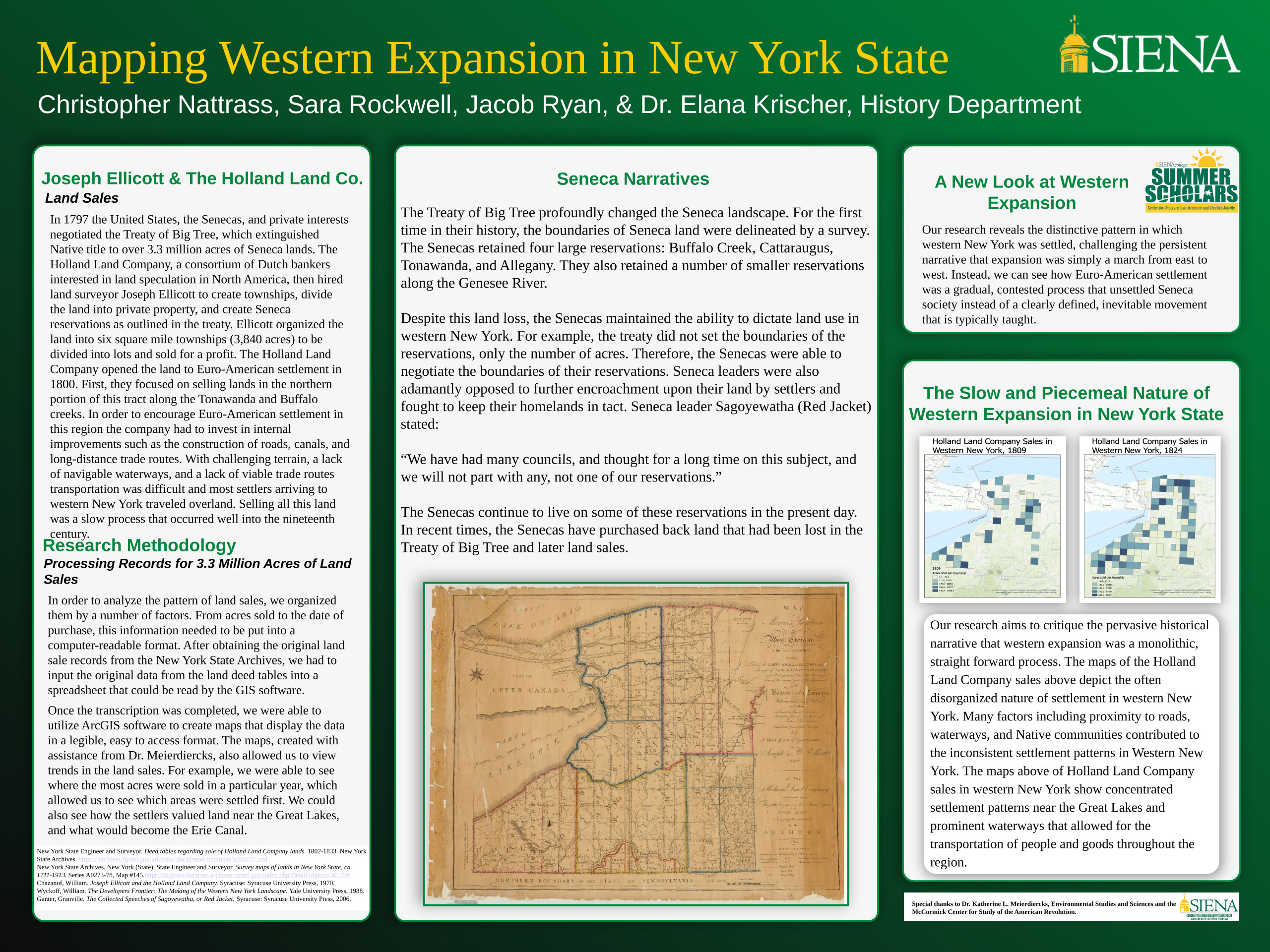
Our research aims to critique the pervasive historical narrative that western expansion was a monolithic, straight forward process. In 1797 the United States, the Senecas, and private interests negotiated the Treaty of Big Tree, which extinguished Native title to over 3.3 million acres of Seneca lands. The Holland Land Company, a consortium of Dutch bankers interested in land speculation in North America, then hired land surveyor Joseph Ellicott to create townships, divide the land into private property, and create Seneca reservations as outlined in the treaty. To research this process we utilized the original Holland Land Company land sale records from the New York State Archives and input this data into ArcGIS software. This revealed the distinctive pattern in which western New York was settled, challenging the persistent narrative that expansion was simply a march from east to west. Instead, we can see how Euro-American settlement was a gradual, contested process that unsettled Seneca society instead of a clearly defined, inevitable movement that is typically taught. The maps created of the Holland Land Company sales depict the often disorganized nature of settlement in western New York, as well as showcasing this was a slow process that occurred well into the nineteenth century.
Title
Mapping Western Expansion in New York State
Faculty Advisor
Dr. Elana Krischer
Course
Summer Scholars Program
Presentation Type
Poster
Location
Table 13